Some navigation during the off-season Feb 22 at or near EDYC via the web.
Land related navigation
Often navigation is considered a part of sailing, so navigating to the club will fall into place for sailors. New commers are being offered help.
What three words is a web service which helps. It is explained by the BBC article at this following link
https://www.bbc.co.uk/news/uk-england-49319760
In relation to the club, both the lane entrance from the road and the corner of the shed are two important points of interest and three words geek petal steer when used as below
https://what3words.com/geek.petal.steer
finds the corner of the shed above the slipway
and
https://what3words.com/post.overpaid.waged
finds the entrance corner of lane from the Comber road. Perhaps this makes the place easier to find.
We are not confident the three words will be memorised – geek petal steer
Google maps already has our club details and we can be found by a map search and hence directions obtained.
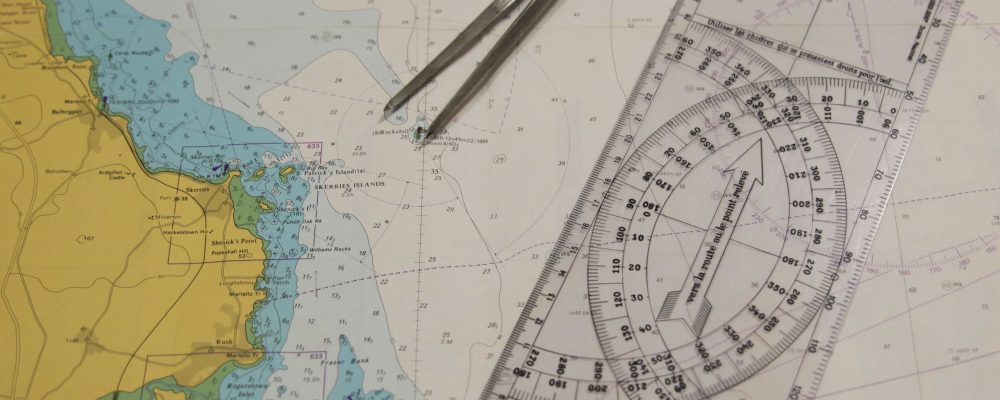
Water related navigation
Lest we forget we are normally navigating on water – we are introducing some local seabed feature names (not named on, but are shown on the chart no 2156 ). These are important navigation obstructions at or near low water.
We have at least two local names of lough features which relate to navigation, or rather lack of grounding. These two names are the “Tennis Court” and “Son of Long Rock”
The “Tennis Court” is a shallow covered in kelp off the North West side of Don O’Neill Island. Notorious for catching cruisers as they seek a short route to race marks to the North of Don O’Neill Island. It is at 54°24’35.4″N 5°37’06.8″W approx
“Son of Long Rock” practically explains itself, in that it is a rock covered in kelp to the South West side of Long Rock. It normally has a perch or pole on it enabling it to be located and is most often encountered when moving from the south of the lough towards the club dorn. It is at 54°24’22.2″N 5°37’19.0″W approx
Opening a navionics chart via this link below shows both features. If you are not following this – it is the green circles mid screen with no names we are describing.
https://eoceanic.com/map.php?latitude=54.4064761&longitude=-5.6224587&zoom=12&chart=1
This same web site reference below has a write up of our own club
https://eoceanic.com/sailing/harbours/138/east_down_yacht_club
Hopefully this navigation insight will have assisted as we creep to the season opening. Like all chart work on the WEB a disclaimed “Not to be used for Navigation” applies.